Crop monitoring
Repeated field imagery, growth comparisons, irrigation observations, and crop condition mapping. Multispectral or thermal sensors and compatible analysis tools are selected when your project needs them.
 OUTPOSTCOMMUNICATIONS
Crop monitoring, construction progress, and remote site visibility—with aircraft, sensors, connectivity, power, and deployment planned together.
Request Your Drone System ↗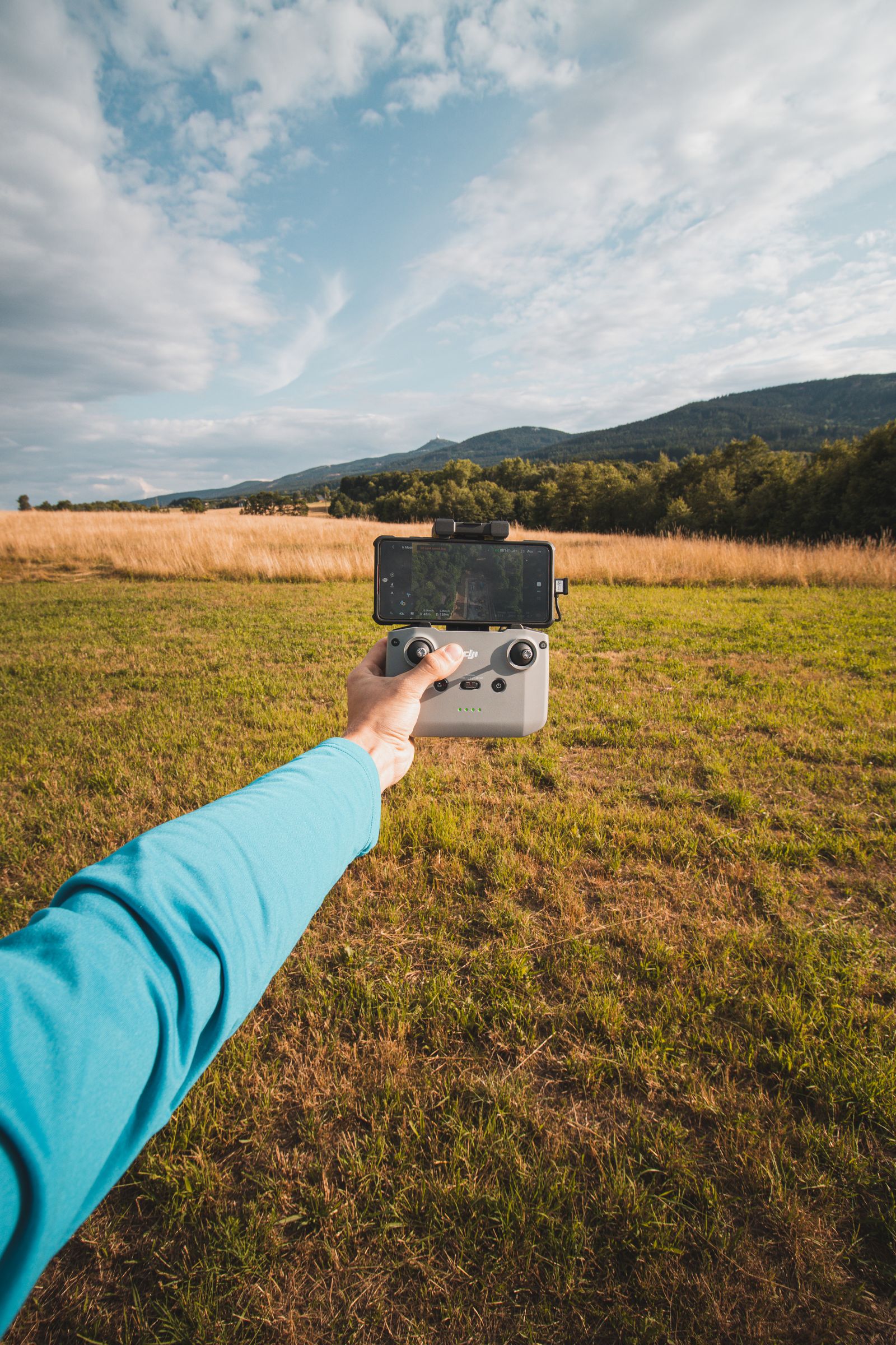
We coordinate the selected drone platform with its ground infrastructure: dock or charging setup, internet connection, power supply, cameras and sensors, supported mission software, and a practical handoff to your operating team. Each system is custom quoted around the location and monitoring goals.
Repeated field imagery, growth comparisons, irrigation observations, and crop condition mapping. Multispectral or thermal sensors and compatible analysis tools are selected when your project needs them.
Repeatable progress photography, site overviews, material and staging visibility, and mapping workflows. Coordinate aerial records with fixed cameras for a more complete view of work in progress.
Dock-based deployments where appropriate, with power and satellite, cellular, or wired connectivity selected for the location. Remote flight scope is reviewed with the operator and applicable permissions.
| Platform | What it can support |
|---|---|
| DJI enterprise options | Dock 3 with Matrice 4D/4TD for compatible dock deployments; Matrice 4E for mapping workflows. |
| Autel enterprise options | EVO Max 4T configurations for visual and thermal inspection and monitoring. Dock compatibility is confirmed for the selected platform. |
| FPV systems | Custom first-person-view configurations for close visual inspection and specialized site imagery, selected around operator experience and the environment. |
| Heavy-lift systems | Custom platforms for larger cameras, specialized sensors, or other approved payloads. Payload capacity, aircraft weight, operating scope, and ground support are confirmed before quoting. |
| Government configurations | NDAA-compliant options selected and verified for the specific project. Where required, aircraft are sourced from the current Blue UAS Cleared List, with exact model, components, software, and agency acceptance reviewed before procurement. |
DJI and Autel are commercial examples. Government eligibility is verified separately for the selected platform and contract. Manufacturer references describe platform options and do not imply dealership or affiliation.
Aircraft and payload selection, dock placement, power demand, network coverage, service access, and project data requirements.
Ground equipment installation, compatible software configuration, communications checks, and agreed system testing with the operating team.
Plan repeat imagery, supported remote viewing, data storage, and reporting around your crop or construction needs.
Integrate fixed cameras and site internet with the drone system. Solar and battery capacity are sized separately for the dock and selected equipment.
Flight operations require an appropriately qualified operator and applicable authorizations. Remote or beyond-visual-line-of-sight operations depend on the approved operating scope; dock installation does not itself authorize flight.
Share your location, acreage or site size, monitoring goals, preferred platform, and any government requirements.
Request Custom Pricing ↗